

Voyage and offline navigation
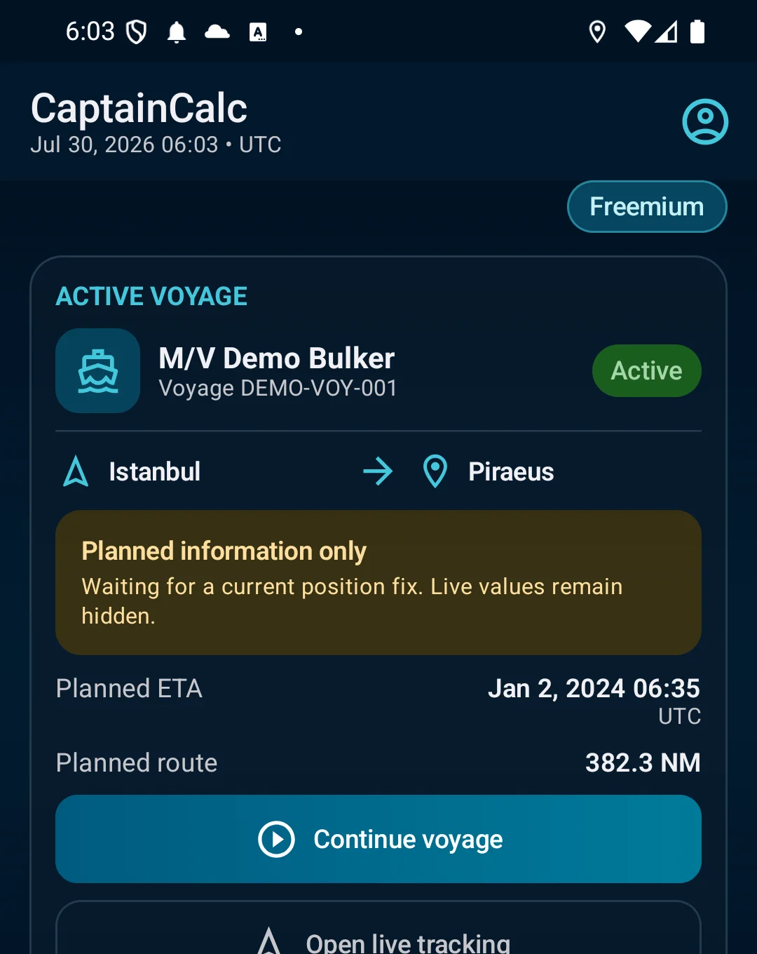
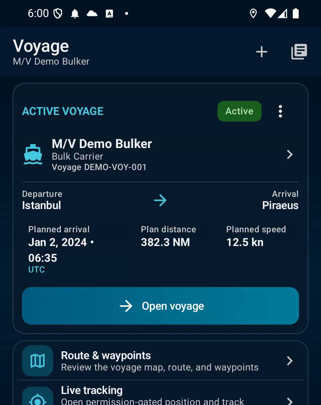
Build routes and waypoints, follow passage progress, record tracks and prepare supported regional or harbor-detail map packs before coverage drops.
CaptainCalc brings professional tides and UKC evidence, voyage planning, GMDSS preparation, stability and loading workflows, celestial navigation, bridge calculators and operational records into one captain-made Android app.
Freemium keeps essential online tools available with ads. Premium removes ads, raises limits and unlocks the complete offline professional workspace.
Not a loose collection of calculators. CaptainCalc keeps vessel, voyage, source and record context visible from input to export.
Build routes and waypoints, follow passage progress, record tracks and prepare supported regional or harbor-detail map packs before coverage drops.
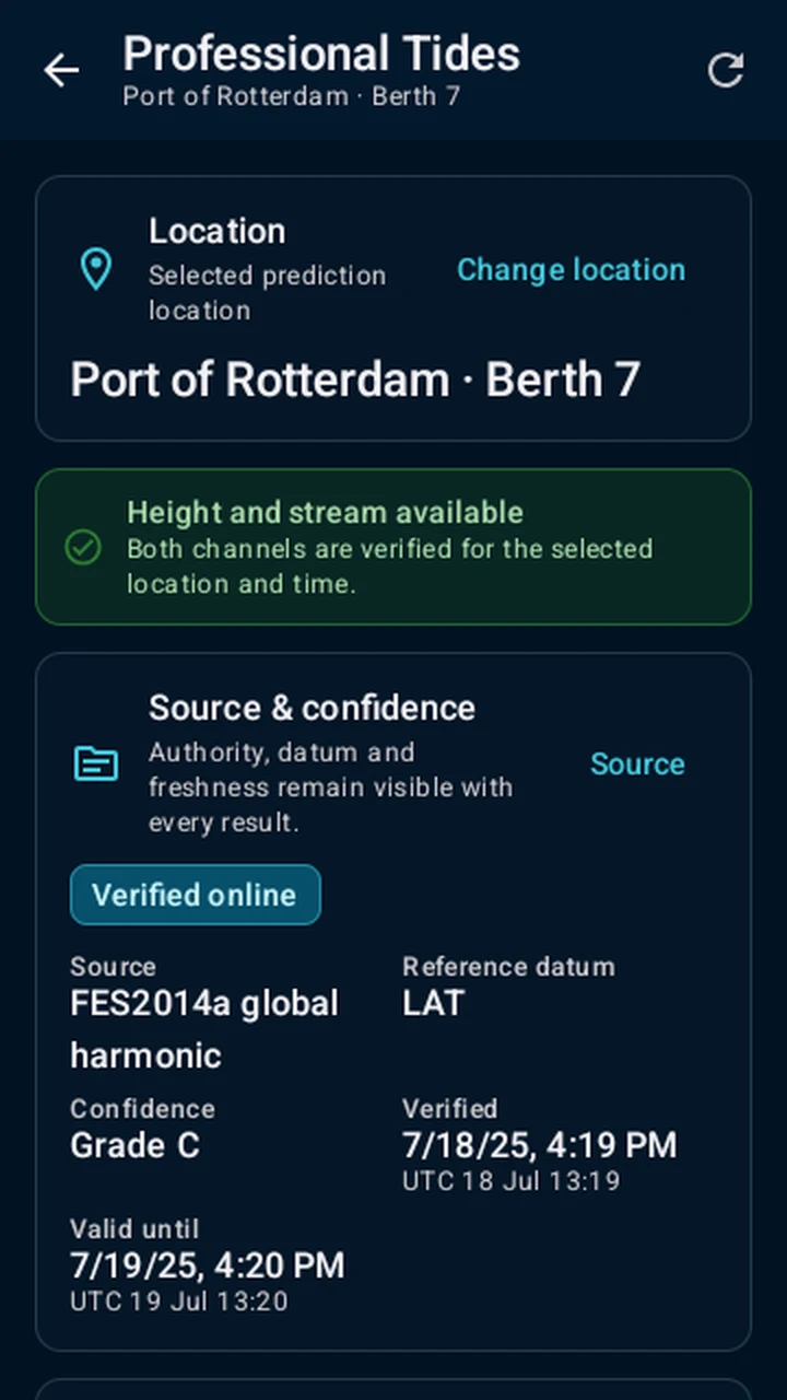
Work with signed FES predictions, NOAA events and available currents. Datum, source, confidence, tide, squat and safety margins stay explicit.
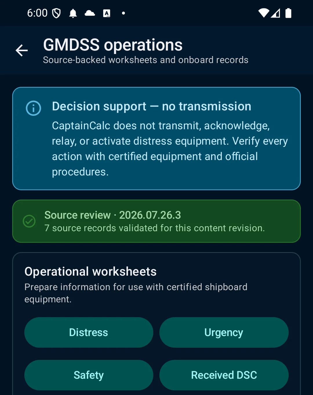
Prepare DSC distress, urgency and safety worksheets, readiness checks, radio-log records and source-backed MSI/NAVTEX review—without transmitting or controlling radio equipment.
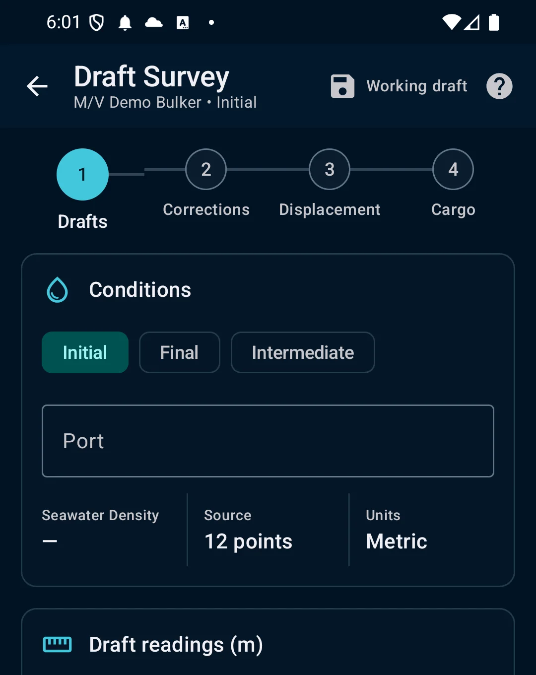
Support six-draft surveys, hydrostatic interpolation, loading conditions, stability criteria, cargo planning, tank soundings and free-surface checks.
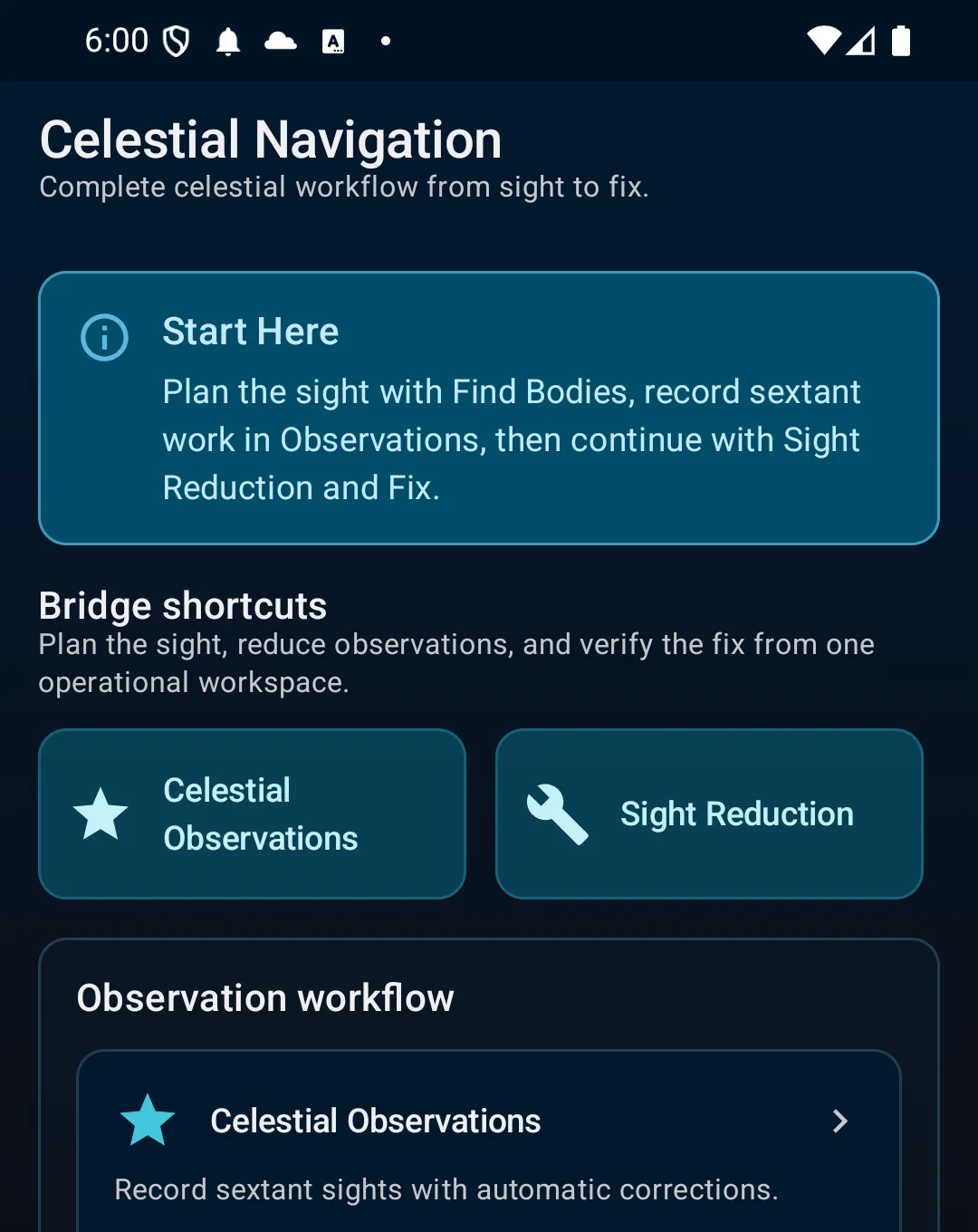
Reduce sun, moon, star and planet sights; build fixes; identify bodies; and use ETA, CPA/TCPA, set and drift, fuel and squat calculators.
Keep voyage and calculation records together and export supported PDF, CSV, GPX and KML outputs with operational context.
Voyages, templates, routes, waypoints, port calls, live progress, track recording, installed offline map packs and supported PDF/CSV/GPX/KML exports.
Signed global FES predictions, NOAA high/low-water events, available current sources, visible datum and confidence, point UKC, route UKC, squat and operational safety margins.
DSC distress/urgency/safety worksheets, equipment readiness, authorized radio logs, station directory and source-backed MSI/NAVTEX review. No transmission or radio control.
Six-draft correction, hydrostatic interpolation, load cases, GM/GZ evidence, dynamic downflooding boundaries, criteria checks and explicit approved-source provenance.
Cargo planning, hold capacity, tank calibration and soundings, density/temperature corrections, free-surface moment verification and condition-aware loading context.
Sun, moon, planet and star observations, sight correction and reduction, lines of position, fixes, noon sights, body identification and planning tools.
ETA, TTG and fuel, rhumb line, great circle, CPA/TCPA, set and drift, compass error, amplitude/azimuth, squat/UKC and other routine bridge calculations.
Professional tide and GMDSS workflows preserve datum, source, verification and confidence evidence instead of hiding it behind a single number.
Core calculations and installed content remain useful when shipboard connectivity is weak, expensive or unavailable.
Vessel, voyage, stability and calculation records remain local. Optional Premium cloud backup is encrypted snapshot restore—not live sync.
CaptainCalc is decision support. It never replaces approved stability data, loading computers, ECDIS, official publications, procedures or professional judgment.
Optional encrypted snapshots with up to 10 restore points, same-account recovery and up to 30 days of retrieval after Premium ends. Backup is not live synchronization.
Core calculations and installed content remain useful when shipboard connectivity is weak, expensive or unavailable.
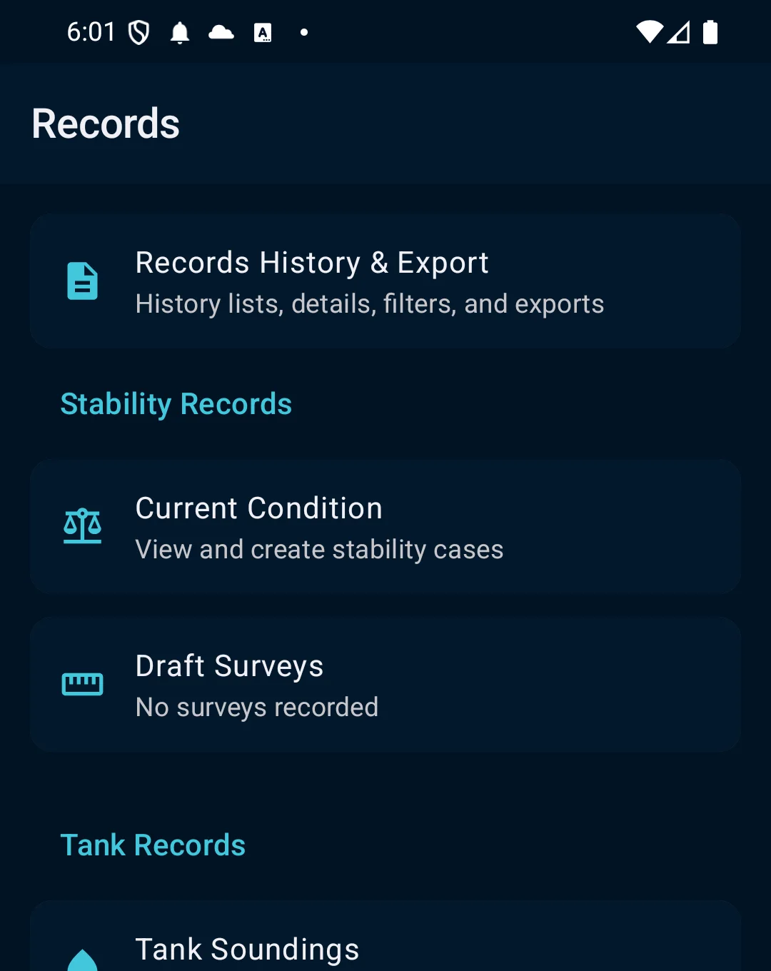
Voyage, stability, draft, tank and calculation history with supported export formats plus COLREG rules, sound signals, IALA and maritime reference material.
CaptainCalc is decision support. It never replaces approved stability data, loading computers, ECDIS, official publications, procedures or professional judgment.