
USER GUIDE
Start a voyage
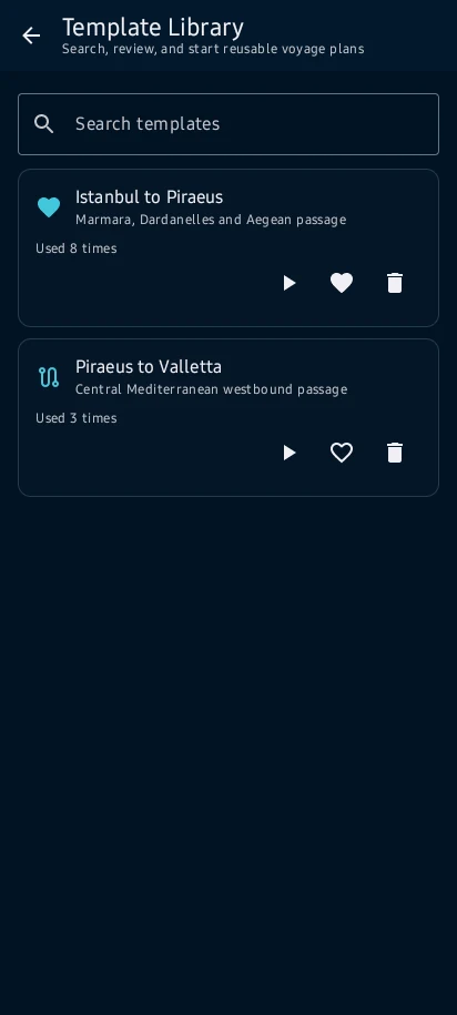
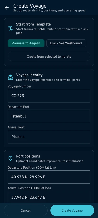
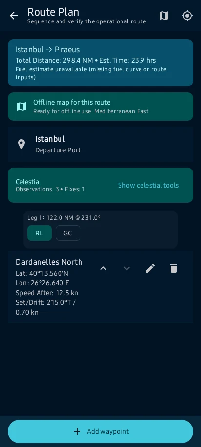
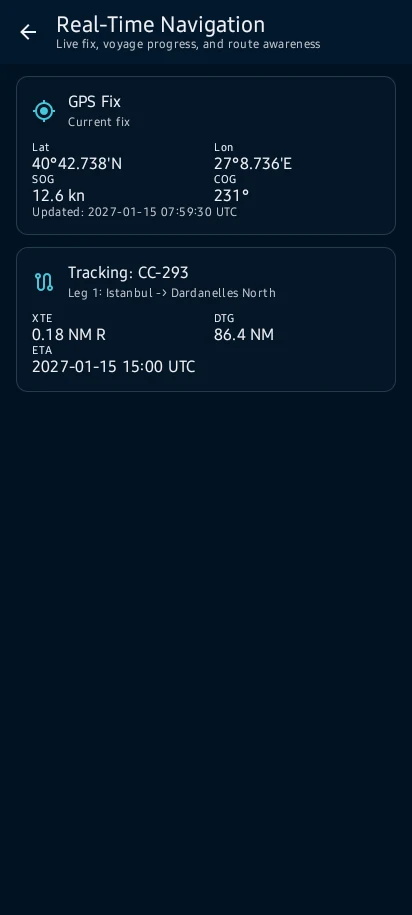
Create a voyage or template, add departure, destination and waypoints, review route distance and ETA, then prepare a compatible offline map pack before leaving reliable coverage.
How to interpret it safely
Create a voyage or template, add departure, destination and waypoints, review route distance and ETA, then prepare a compatible offline map pack before leaving reliable coverage.
The user guide explains what the information means, how the result is produced and which warnings or limits matter.
See the main screens
Practical learning and web tools
What to know before you use it
How to use this feature well
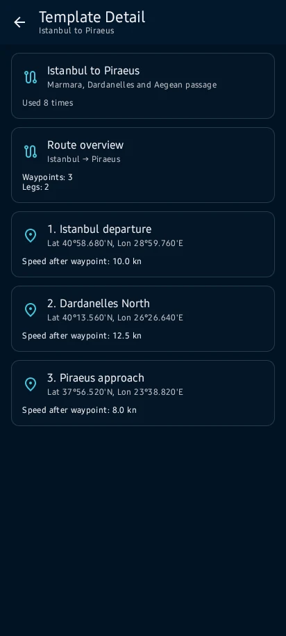
Separate the passage template, planned route and active voyage; review waypoints, distance, speed, ETA and monitoring state before treating the plan as operational context.
Where the information comes from
Start a voyage: Before using a result, check its provider, datum, time basis, confidence and installed-data details.
Check your inputs
Start a voyage: Complete missing information and correct inconsistent or out-of-range vessel, position and calculation values.
Understand the calculation
Start a voyage: Keep the units, vessel particulars, time zone and selected method in view when reading a result or export.
When to stop and review
Start a voyage: Read each warning, correct its cause and recalculate before continuing.
Use it within its limits
Start a voyage: CaptainCalc supports decisions; approved vessel documents, official publications and the master's judgement remain authoritative.
Continue learning
CaptainCalc is decision support. It never replaces approved stability data, loading computers, ECDIS, official publications, procedures or professional judgment.
Get CaptainCalc on Google Play
Freemium keeps essential online tools available with ads. Premium removes ads, raises limits and unlocks the complete offline professional workspace.